Field Note 002: The Salt and the Spine
Exploring the Hidden Heart of the Gulf of Nicoya
The alarm hums at 3:15 AM. In the pre-dawn stillness of San José, 33 riders are already loading machines. This isn’t just another Sunday club ride; it’s a deployment to the edge of the map. Our destination is Isla Chira, a fragment of land in the Gulf of Nicoya where the roads are made of crushed shells and the humidity is a physical presence you can wear.
The Crossing
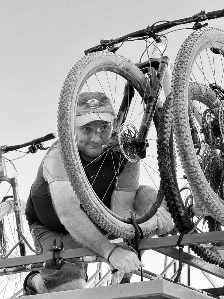
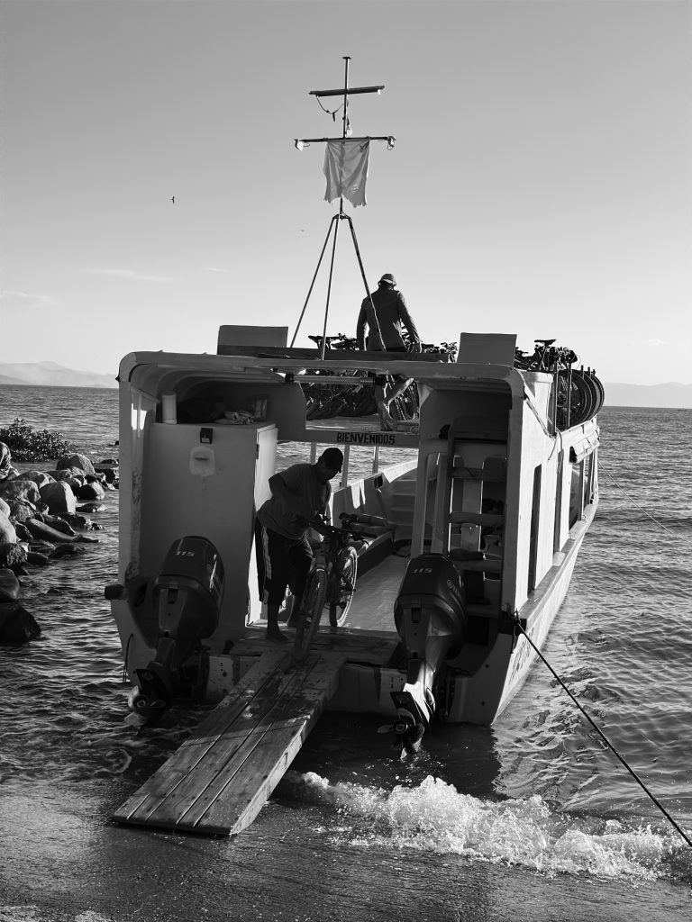
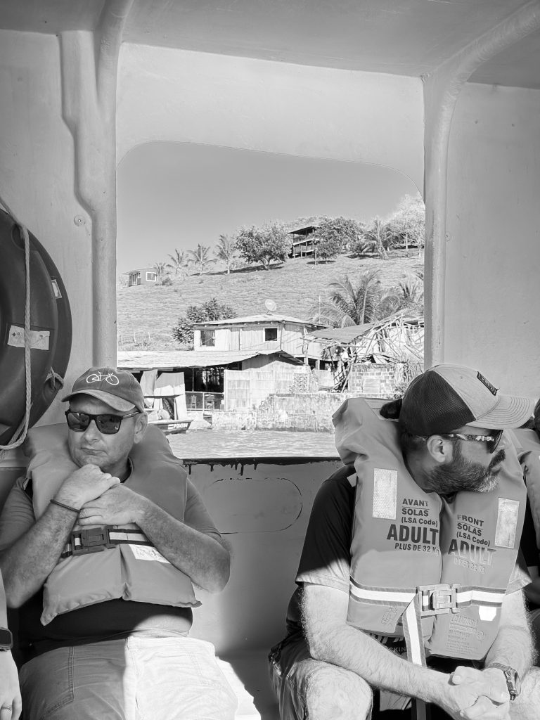
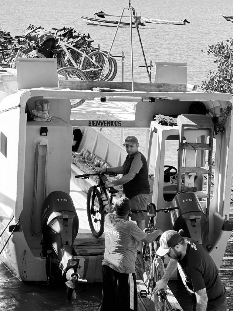
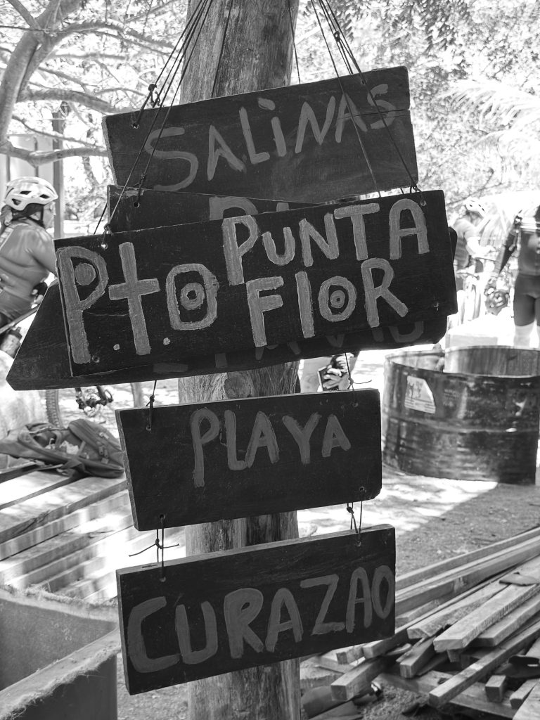
By 8:00 AM, the Pacific sun is already sharp. We reached Playa Manzanillo, where a fleet of local pangas (boats) awaited. Loading thirty-three high-performance carbon bikes into open-water skiffs is a lesson in trust and logistics. As we cut through the salt spray toward the island, the modern world felt a thousand miles away.
The Heat and the “Espinazo”
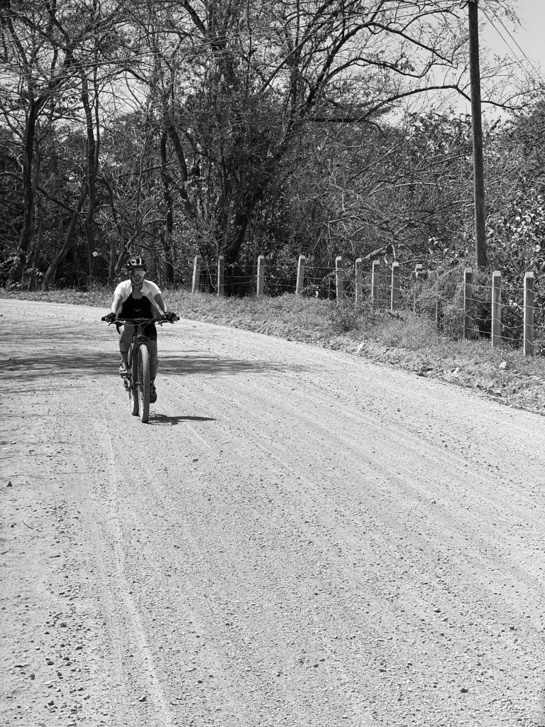
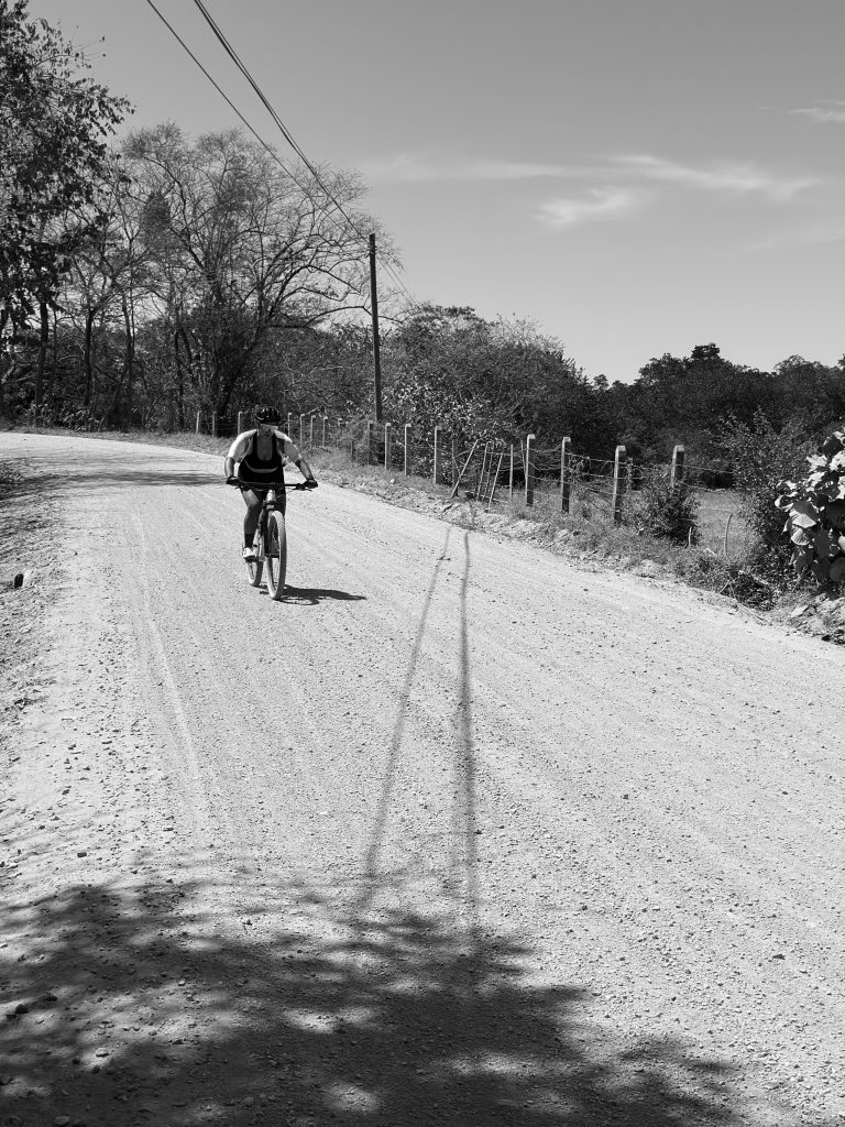
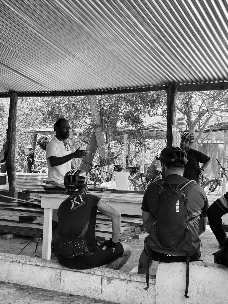
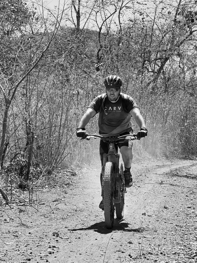
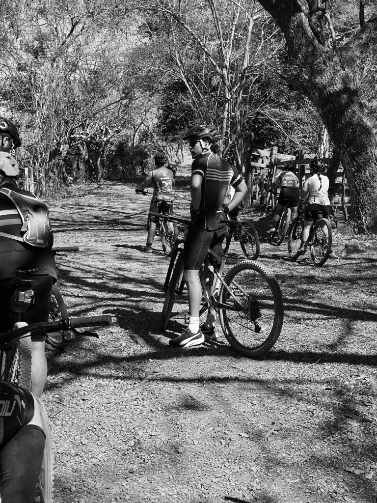
At 9:00 AM, we rolled out. The Garmin registered an immediate climb into 35°C (95°F), with a “feels like” index peaking at a staggering 45°C. This is the tropical reality: the air is thick, and the effort is doubled.
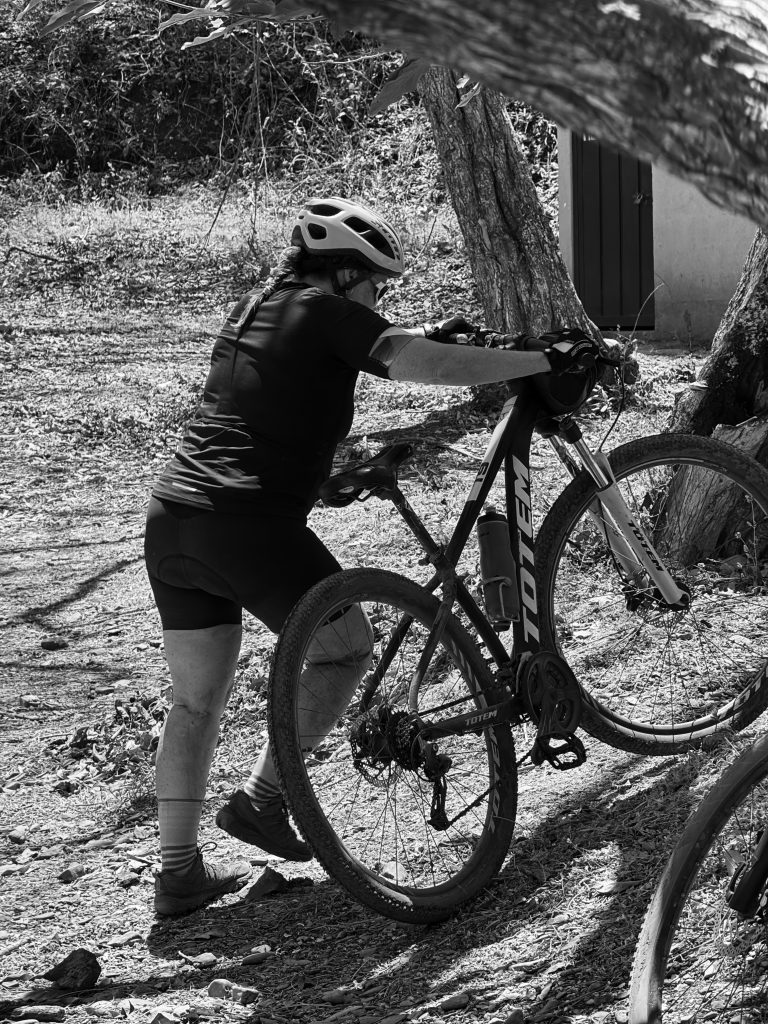
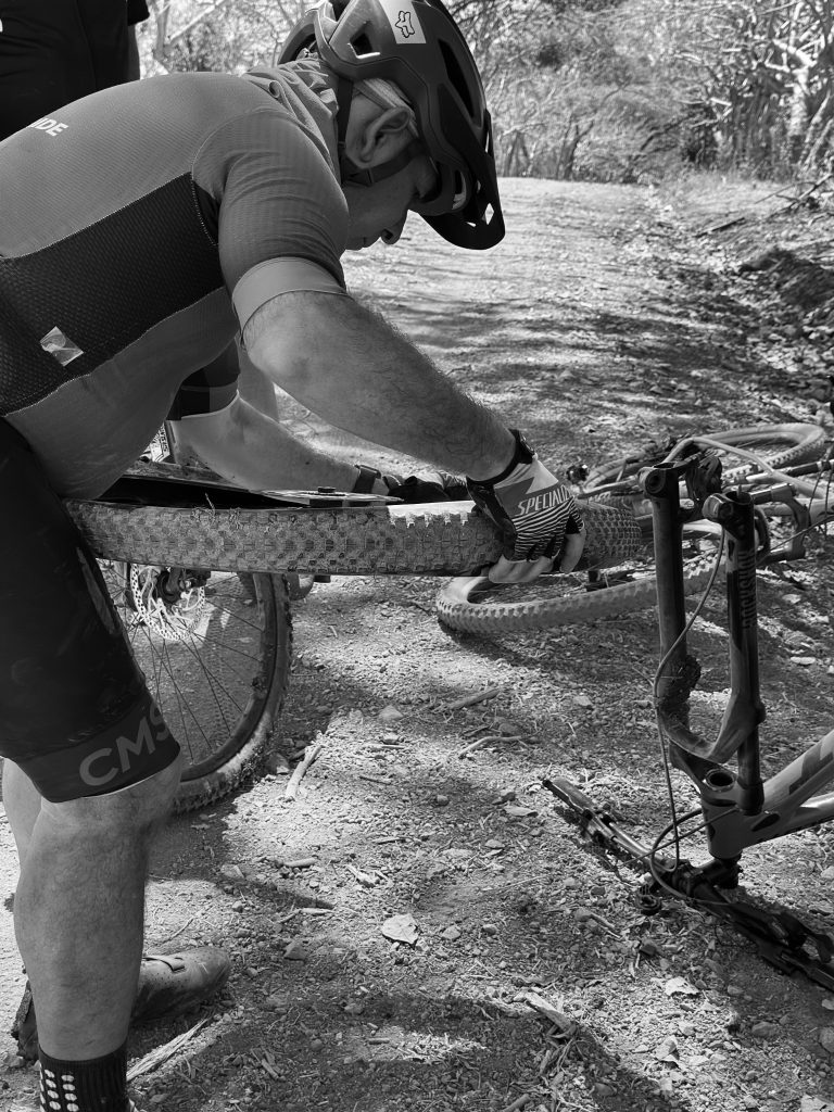
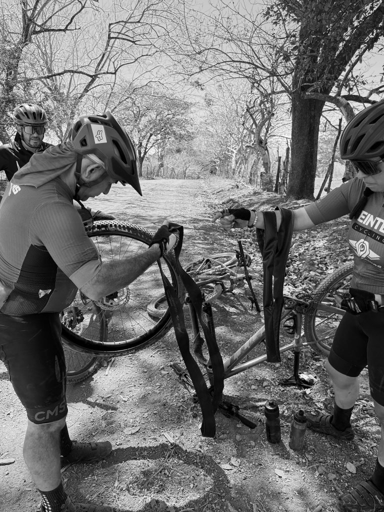
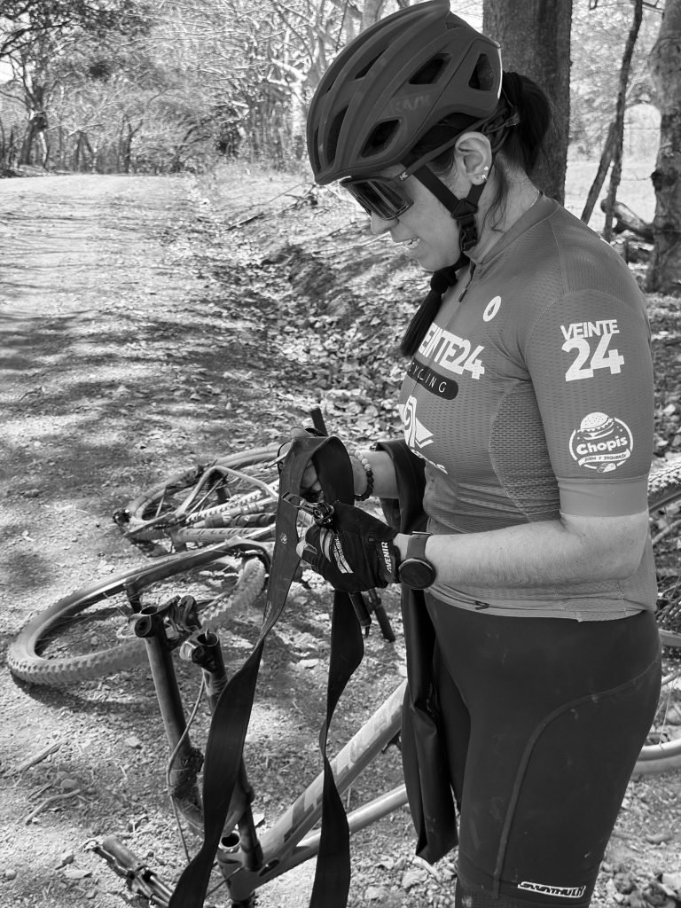
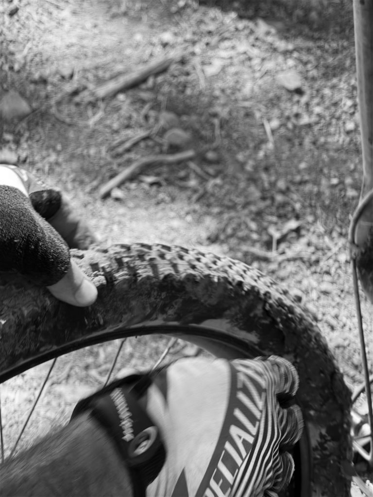
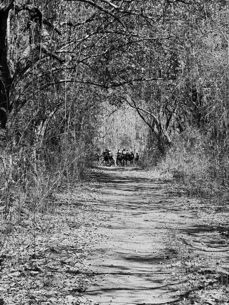
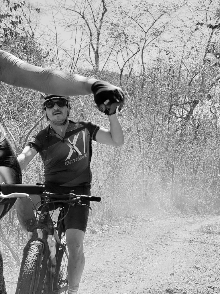
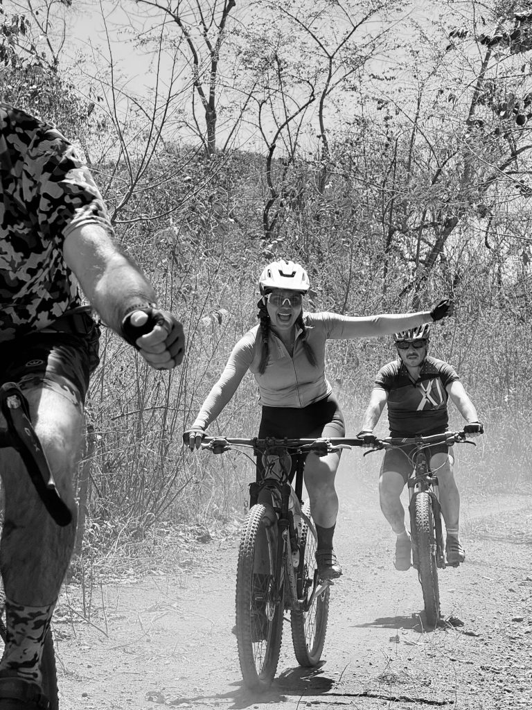
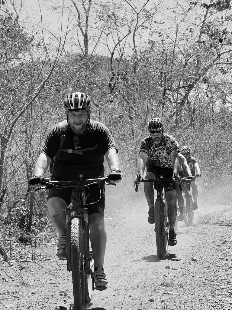
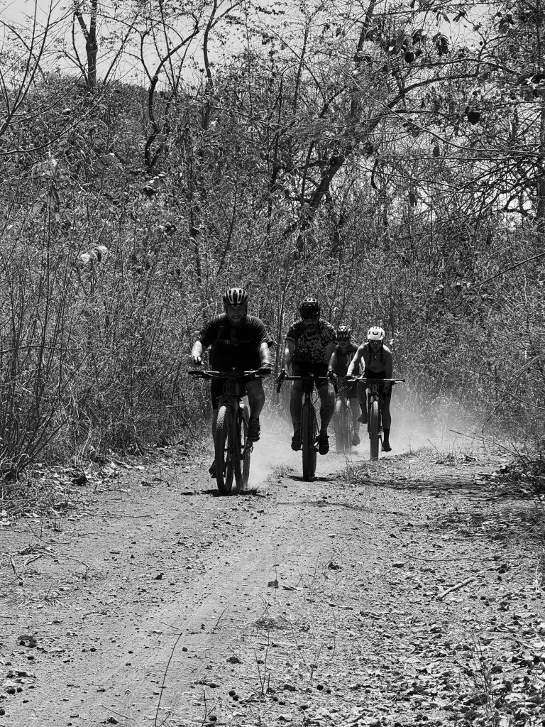
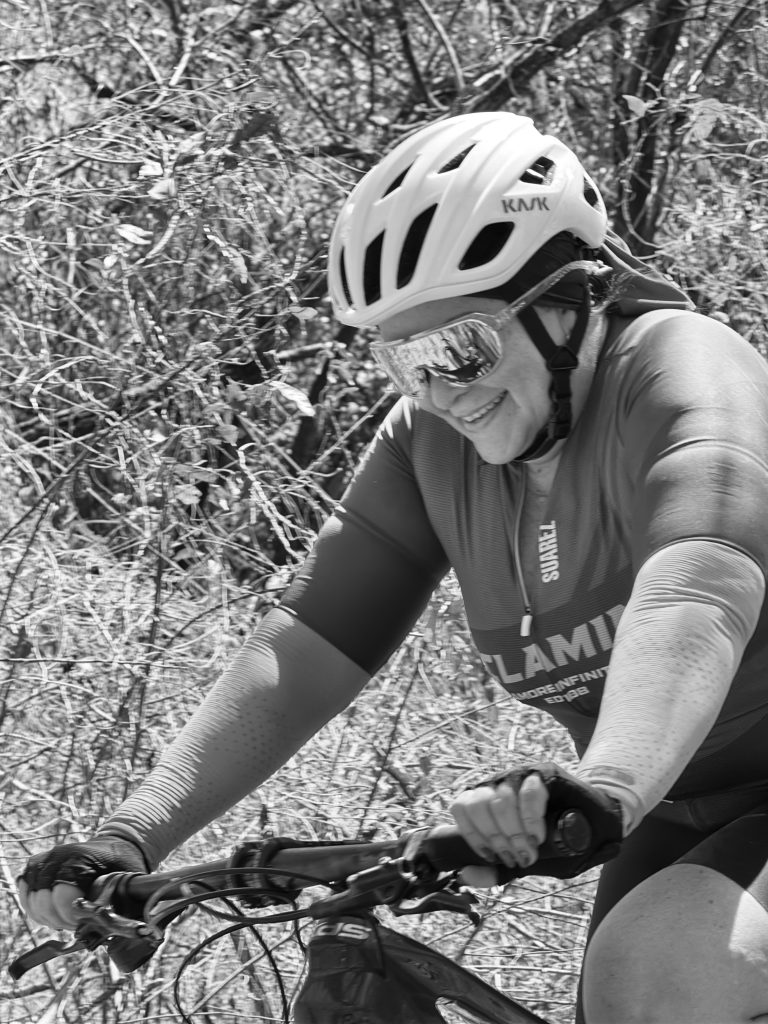
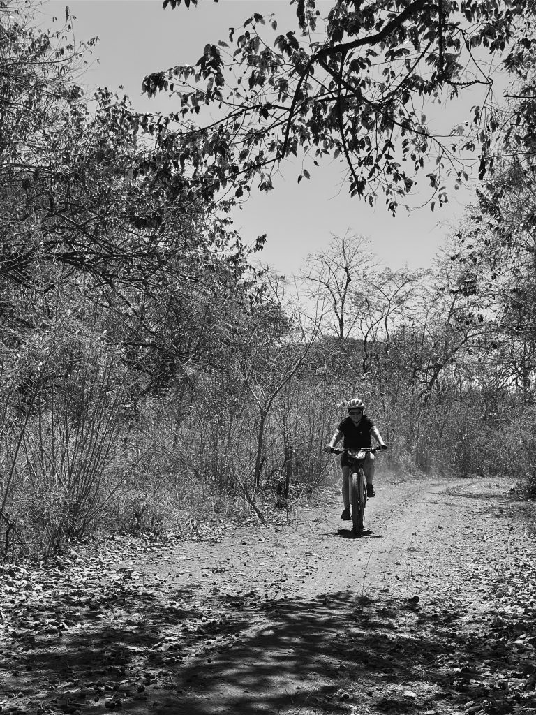
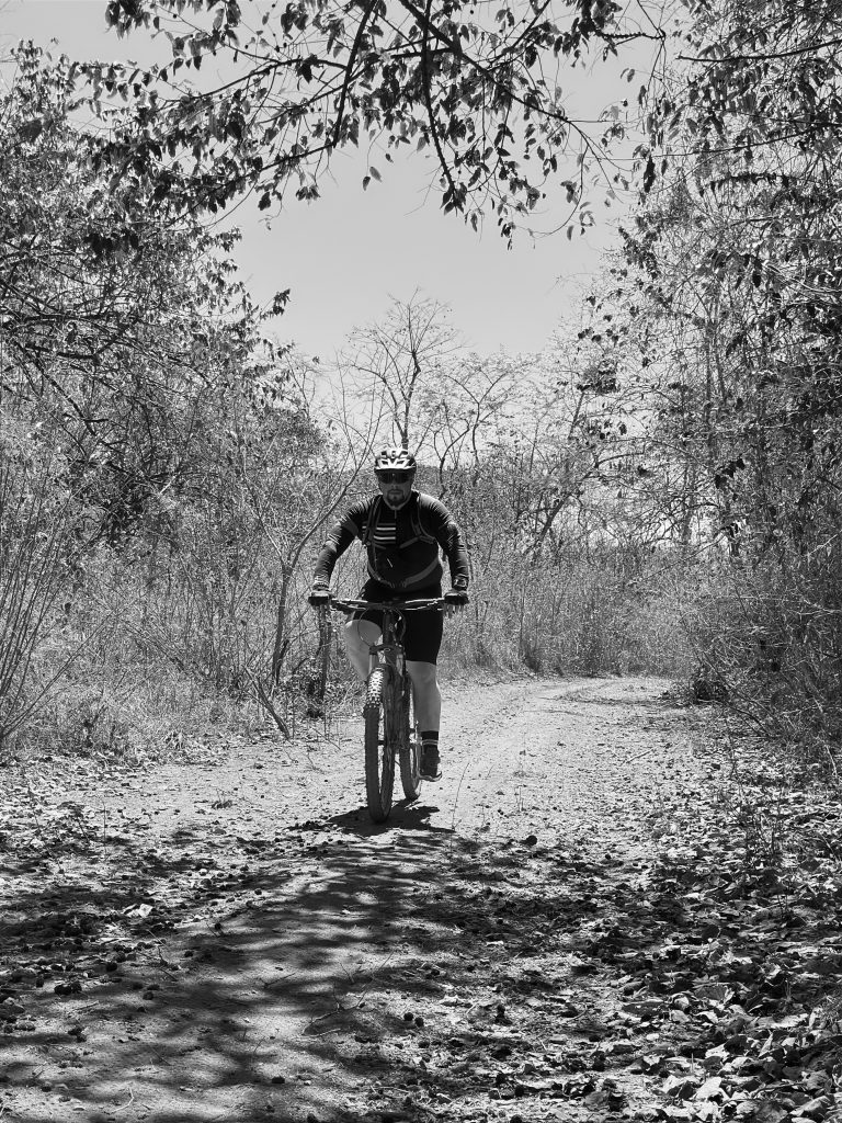
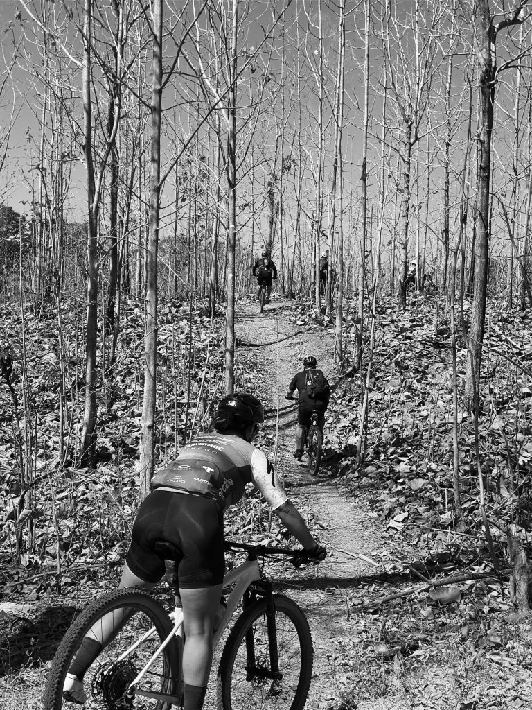
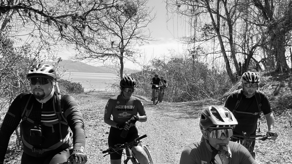
We dove into “El Espinazo” (The Backbone). It’s a trail that earns its name—a jagged, technical ribbon of singletrack lined with relentless thorns. Here, your equipment is everything. One wrong line and the dry-forest vegetation claims a tire. We moved as a collective, the sound of tires on loose volcanic gravel providing the soundtrack to a 35km loop that felt like a hundred.
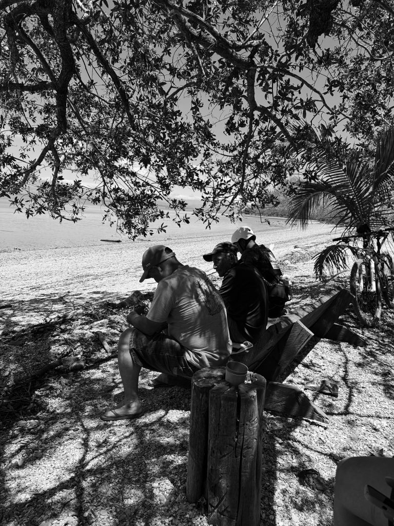
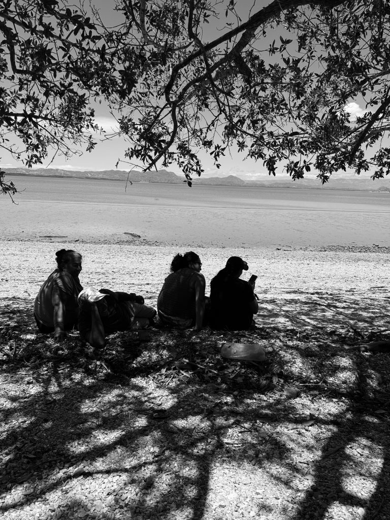
Beyond the Odometer: The Guardians of the Mangrove
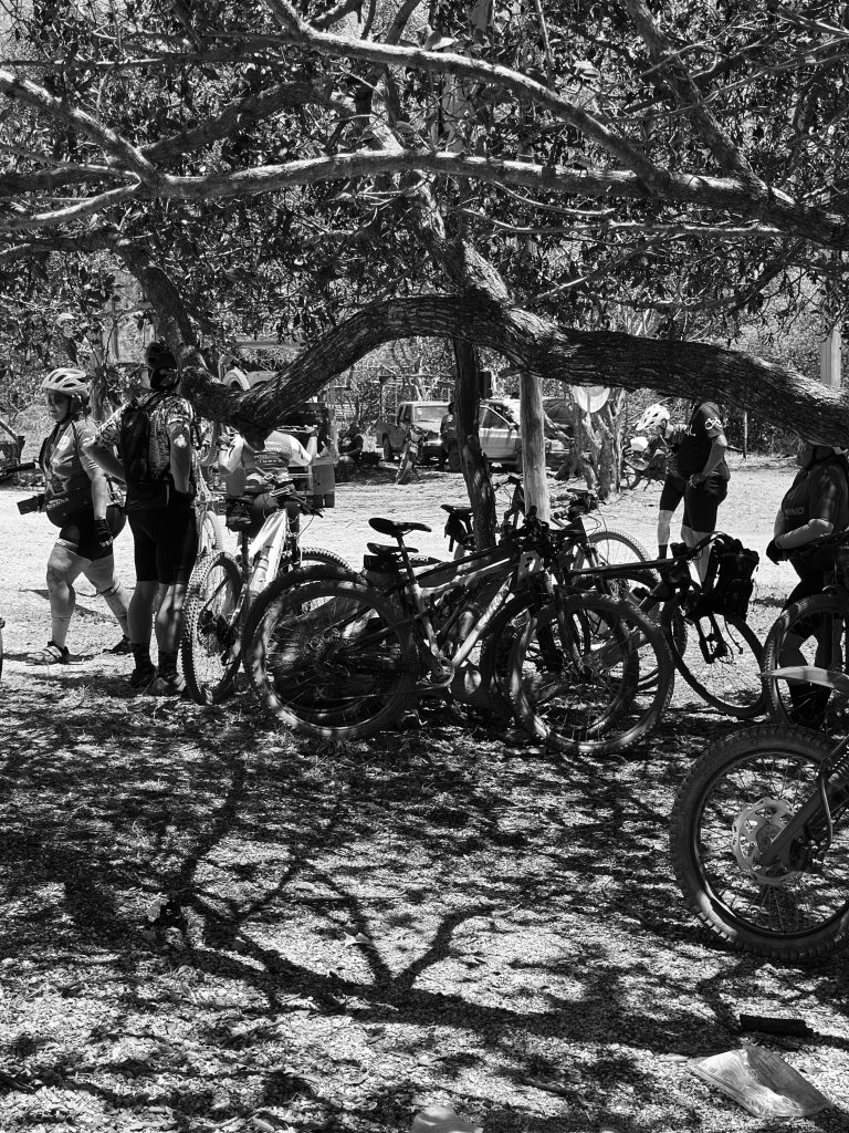
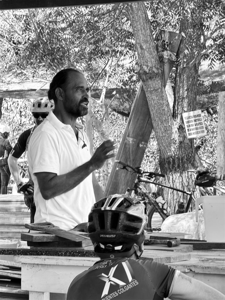
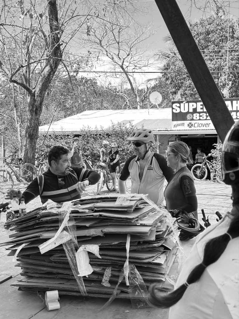
The true “Power Data” of Isla Chira isn’t found in watts or cadence. It’s found in the shade of the mangroves. We paused our ride to meet Doña Lilliana and the Women’s Association of Isla Chira.
As they served us much-needed refreshments, Lilliana told us the story of their resistance. This island is home to the largest volunteer fire brigade in Costa Rica—a community-led wall against the wildfires that threaten their ecosystem. Their work in mangrove reforestation is a masterclass in sustainable tourism. For the Boundless Cycling Collective, this is why we ride: to connect with the humans who protect the terrain we explore.
The Long Road Home
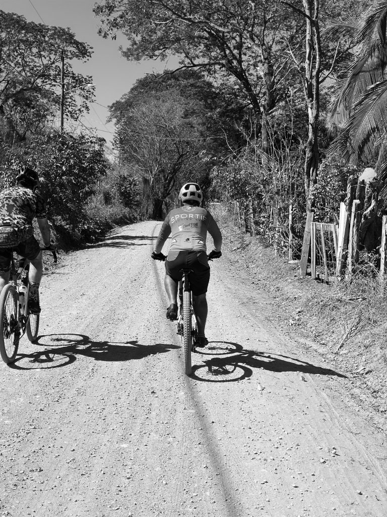
The day ended with a celebratory lunch at El Camarón, our salt-crusted jerseys finally drying in the sea breeze. After a lancha crossing back to the mainland and a strategic sunset detour through the winding mountain passes of Monte del Aguacate, we returned to the city at 10:00 PM.
We left as 33 individual riders; we returned as a collective. New friendships forged in the heat, numbers exchanged, and a shared understanding that in Costa Rica, the best roads aren’t roads at all—they are experiences.
Technical Log: Isla Chira Expedition
- Total Distance: 35.12 km
- Moving Time: 2:44:03
- Max Temperature: 41.0 °C
- Avg Heart Rate: 142 bpm
- Total Ascent: 398 m
- Calories Burned: 1,732 C
- View the Full Data: Garmin Connect Activity